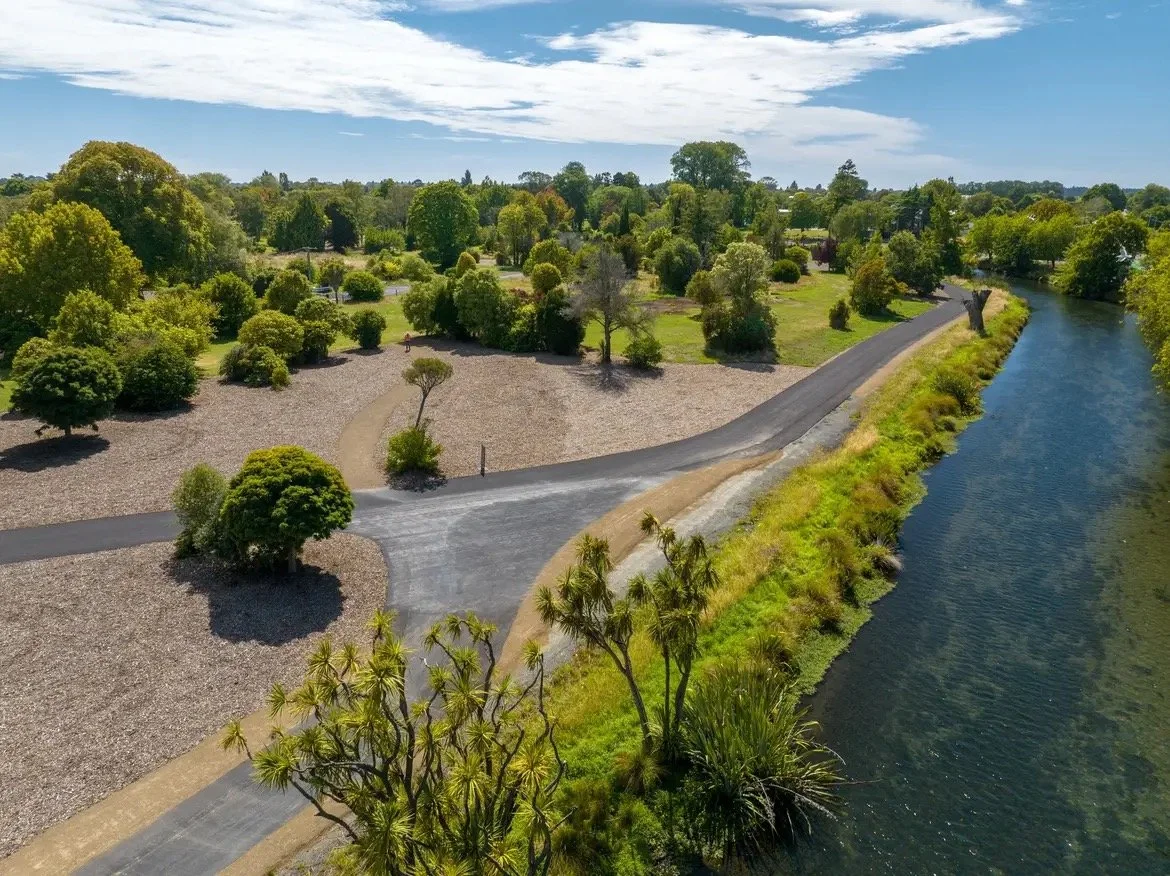
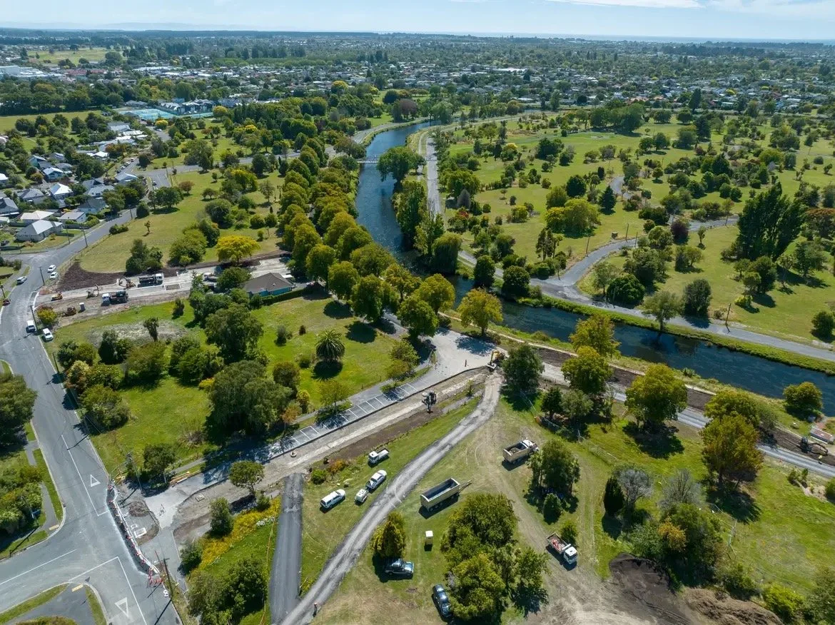
The City to Sea pathway is an important piece of light infrastructure for Ōtautahi, enabling significant regenerative change in the way people move from the city to sea. The shared walking and cycling route along the Ōtākaro Avon River corridor connects the central city to the coast at North Brighton. The pathway is 11 kilometres in length, and delivered in two portions, east and west, by two practices working together for continuity. The western portion weaves its way through Red Zone land from the city to Snells Bridge at Avon Park (which was delivered concurrently), providing connection to local communities and sensitively nesting itself into the regenerating and emerging ecosystems post Christchurch earthquakes.
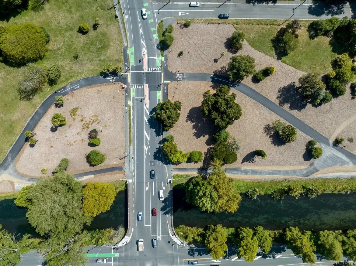
City to Sea West (C2SW) was conceived of as a continuously flowing main flow, like the river, moving through the landscape with priority to pedestrians and cyclists at crossing points. It is a safe, legible and generous width (4m minimum) to encourage as many users as possible, regardless of age, stage and ability. Utilising the remnant road network for the majority of the pathway was a conscious decision to remain connected to place, and conveniently, the old roads follow the river to elevate the experience for all. This approach drove key design moves around light touch, maximum benefit, where reuse and repurposing allowed the budget to stretch further, and embed itself into the land naturally meaning no excessive engineering measures were needed.
Location: Ōtautahi (2023 - 2026)
Client: Christchurch City Council
Role: Project Landscape Architect (with Isthmus)
Collaborators: Tonkin & Taylor, Instream Ecology, Ruamoko, Underground Overground Ecology, SimplyArb
Photography: Miscellaneous